Maps
View the Maps Collection »
This collection of maps was originally selected from the William C. Wonders Map Collection to highlight the exploration, surveying and mapping of western Canada, while serving as a starting point for research related to the history of prairie settler geographies.
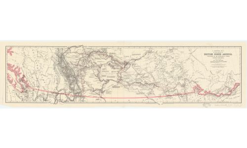
Map of routes in British North America between 1857 and 1860.
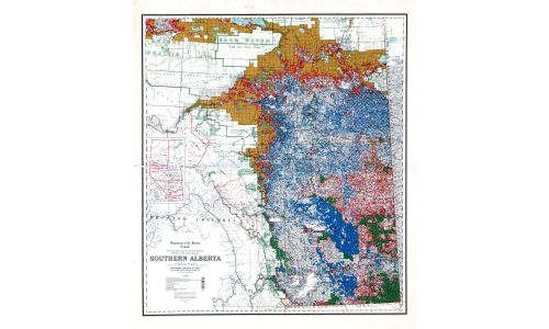
Map showing the disposition of lands in Southern Alberta (1921).
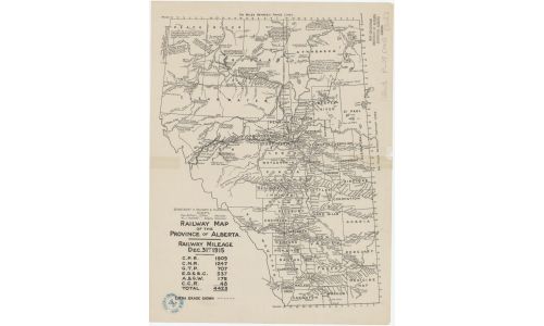
Railway map of the Province of Alberta (1915).
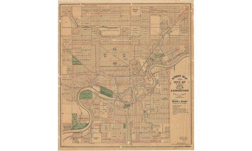
Street map of the City of Edmonton (1924).